Category Archives: Mountains

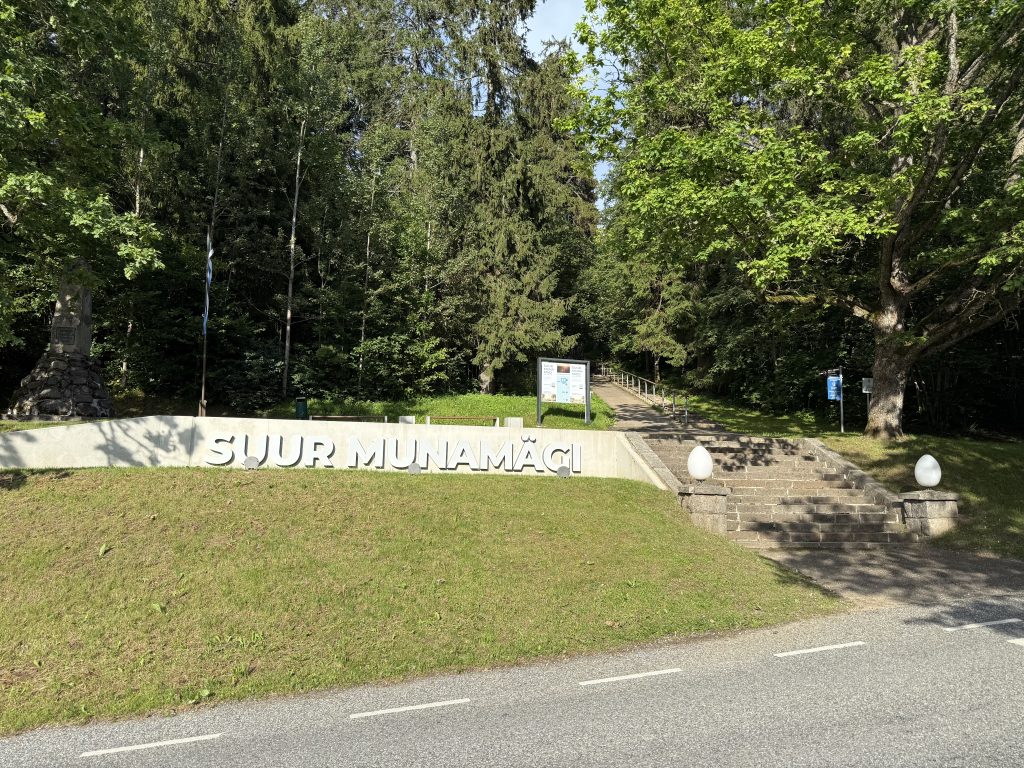
The highest mountain in Estonia is Suur Munamägi

Coordinates: 57.713934, 27.059986

The highest mountain in Estonia is Suur Munamägi, often referred to as the tallest peak in all the Baltic States. This hill stands in the southeastern part of the country, in Võru County, within the Haanja Uplands.

Physical Characteristics

  • Elevation above sea level: 318 m.
  • Geographical location: In Haanja Nature Park, near the borders with Latvia and Russia.
  • Name origin: In Estonian, “Suur Munamägi” means “The Big Egg Hill”.

Landscape and Tourist Significance

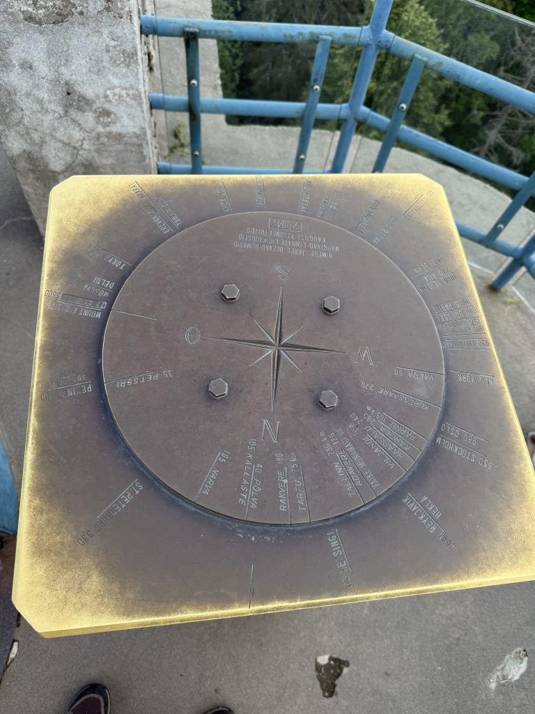
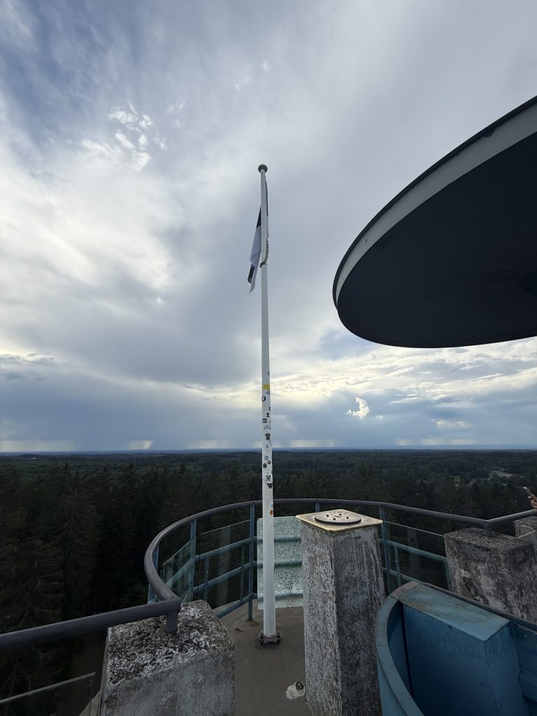
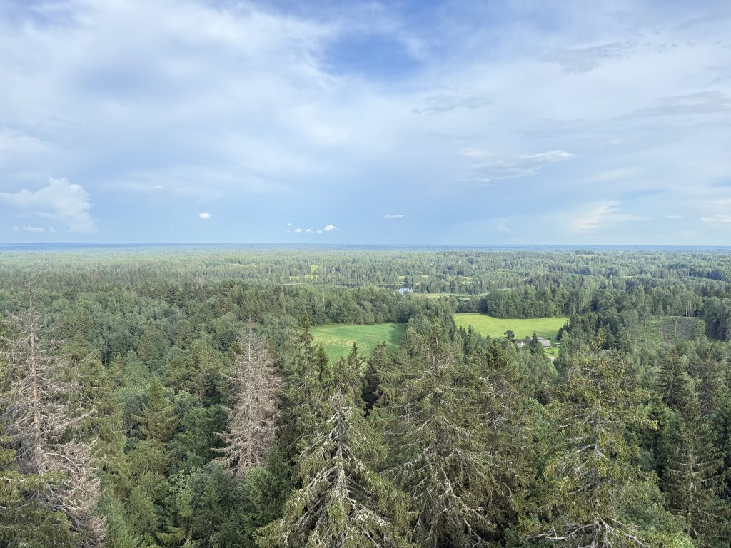
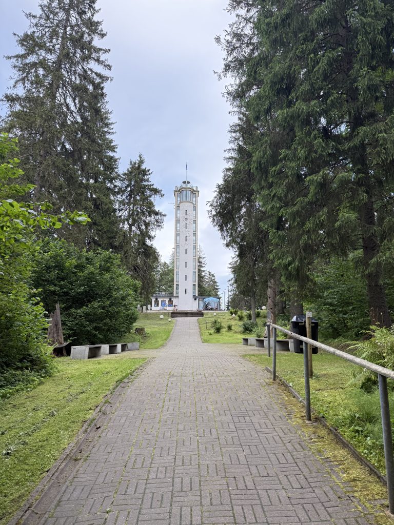
Suur Munamägi is not a traditional mountain, but rather a rounded, greenish hill crowned by an observation tower at its summit. The tower offers panoramic views across the Haanja Uplands landscape—lush forests, small lakes, and distant rippling fields. This region is especially popular with hikers and nature enthusiasts—popular hiking routes pass close by, and during winter, the area attracts visitors with its skiing trails.

Natural and Historical Environment

The hill rises in the Haanja Uplands, formed by glacial activity during the Ice Age. The area is rich in moraine hills, streams, lakes, and bogs, all characteristic of the Estonian landscape. Besides Suur Munamägi, the Haanja Uplands feature other notable hills such as Vällamägi and Kerekunna mägi, but none surpass Suur Munamägi in height.

Interesting Facts

  • Suur Munamägi is considered not only Estonia’s, but the entire Baltic States’ highest natural point.
  • For comparison, Lithuania’s highest location, Aukštojas, reaches 293.84 m above sea level—noticeably lower than Suur Munamägi.
  • Although the hill is not impressive in height compared to mountains in other European countries, in Estonia’s mostly flat landscape it stands out as a distinct and important landmark.

Attractions on Suur Munamägi

  • At the summit is a modern observation tower, providing the opportunity to enjoy views up to 50 km away.
  • The area features educational trails and information boards about the region’s nature and history.

Suur Munamägi is not just a natural, but also a symbolic summit of Estonia’s highlands, encouraging travelers to discover the country’s landscape and its history from a bird’s-eye perspective.
Gaizinkalns Mountain in Latvia

Coordinates: 56.870134, 25.959222

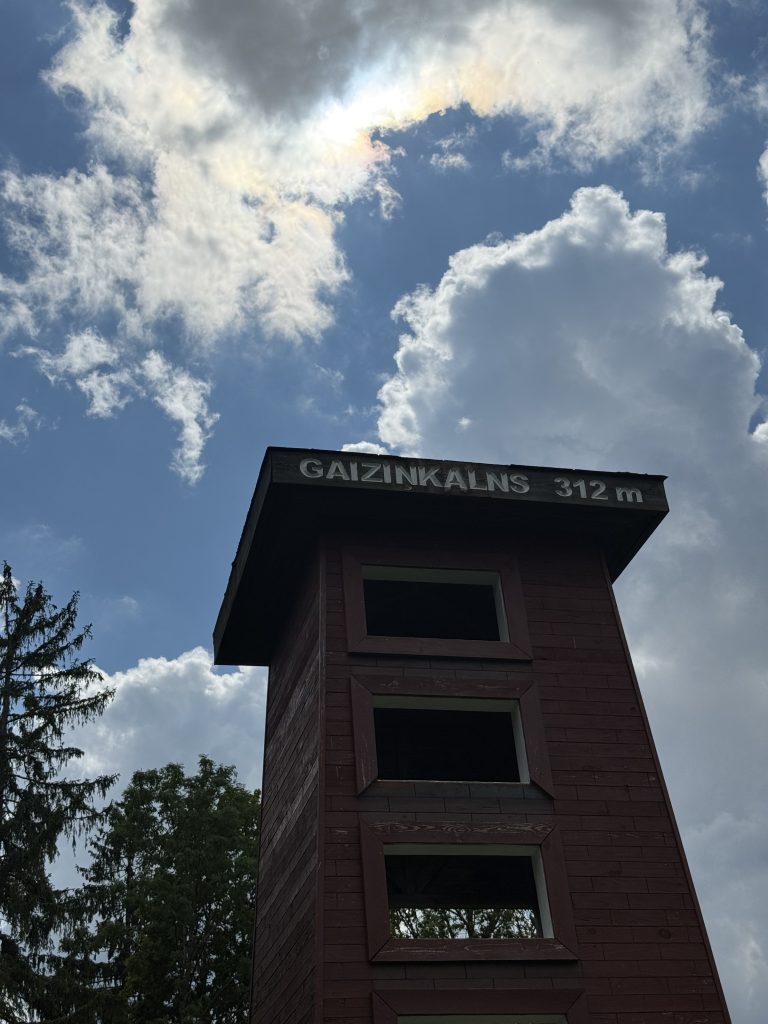
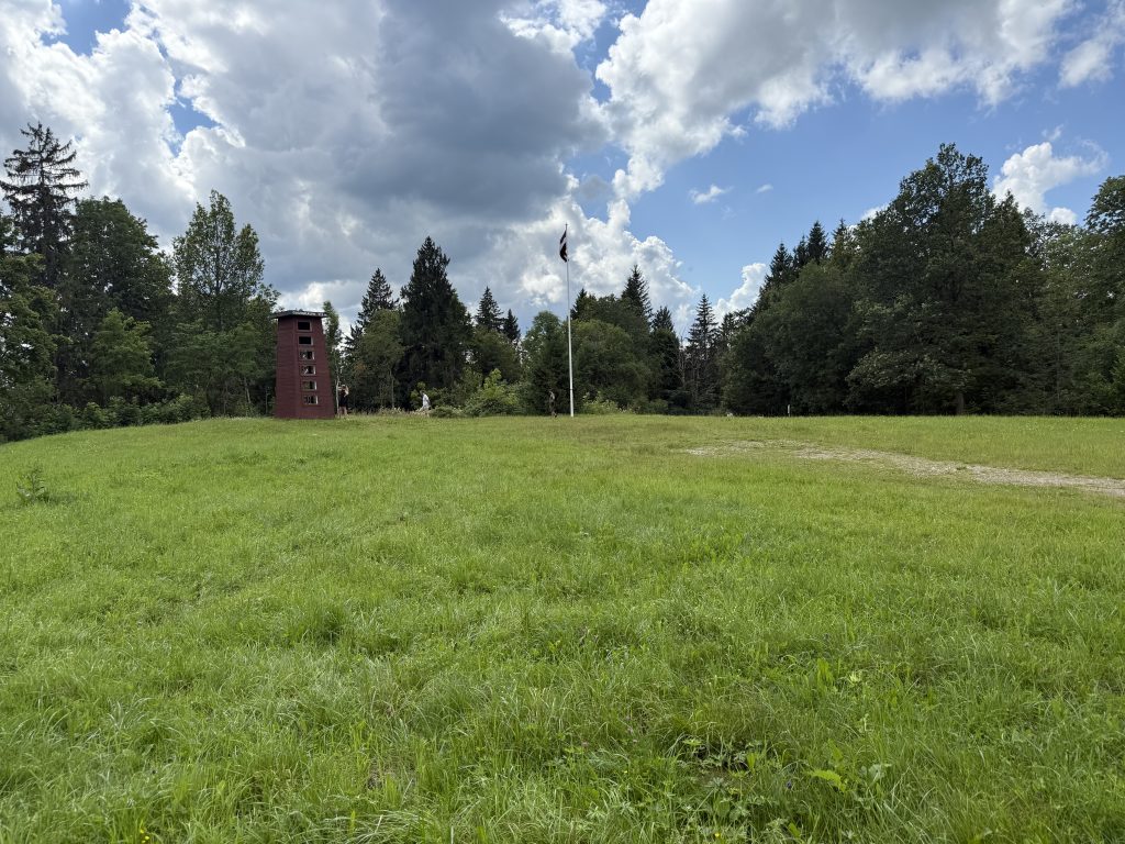
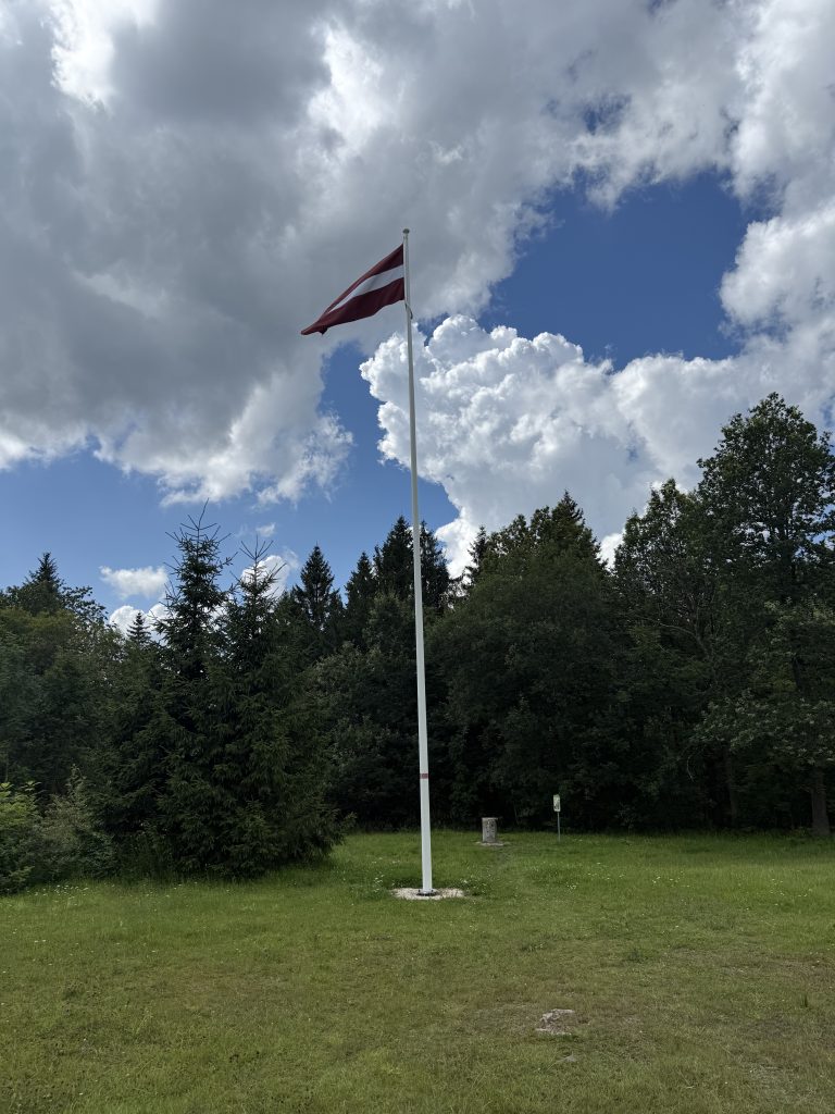
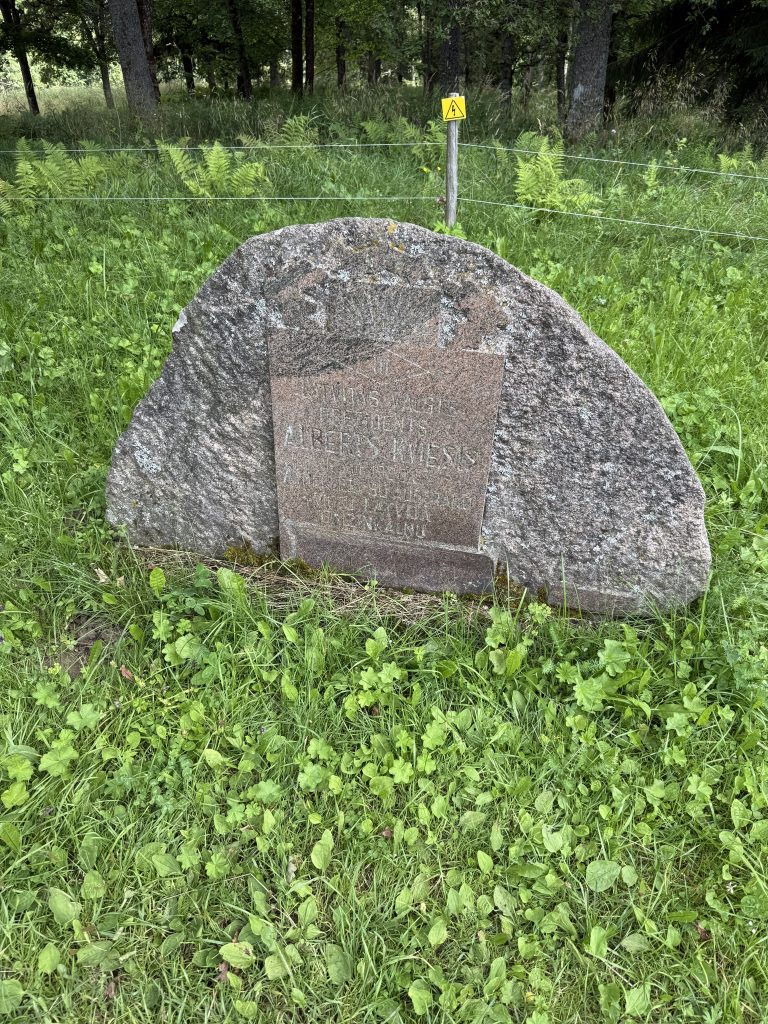
Gaizinkalns (in Latvian Gaiziņkalns or simply Gaiziņš) is the highest hill in Latvia, reaching approximately 311.9 meters above sea level. It is located in the Vidzeme Upland within the Madona municipality, Bērzaune parish, on the western edge of the Madona region.

Gaizinkalns is composed of sand, gravel, and moraine clay. The slopes of the hill are steep and covered with spruces and birches. The area is predominantly forested, with about 70% of the territory covered by spruce forests and small groves of oak or birch trees. Nearby there are several small lakes and a rich natural environment, making this area a nature park (Gaizinkalna Nature Park), established in 1987 and part of the Natura 2000 network.

The hill holds not only natural but also historical and cultural significance. As early as the 19th century, folk dances called zaļumballes were held here. In the early 19th century, the well-known scientist Friedrich Struve conducted triangulation measurements on Gaizinkalns to determine its height. At the end of the 20th century, construction began on a tall observation tower, which unfortunately remained unfinished due to financial difficulties and poorly constructed foundations. In 2012, it was demolished using explosions.

Gaizinkalns is popular with tourists, especially during the winter season when ski slopes and lifts are operational, and sports and recreation facilities are available. Visitors can rent equipment such as snowboards, sledges, and skis. There is a gravel, marked hiking trail about 2 kilometers long, enhanced with steps, leading to the summit, from which visitors can enjoy beautiful panoramic views of the surroundings.

Additionally, Gaizinkalns is geologically interesting—the top layers of the hill contain a very thick clay layer, approximately 28.5 meters deep. Geologists estimate that the hill could be more than 16,000 years old, having formed after the Ice Age.

In summary, Gaizinkalns (Gaiziņš) is an important natural, cultural, and tourist landmark in Latvia, symbolizing the country’s highest point with an impressive natural environment and offering opportunities for relaxation and recreation during both summer and winter seasons.

Aukštojo Hill in Medininkai, Lithuania

Coordinates: 54.5271° N, 25.6261° E

Introduction

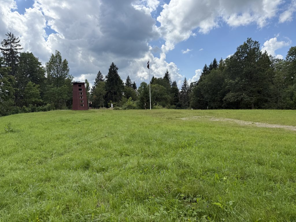
Aukštojo Kalnas, also known as Aukštasis Kalnas, is the highest point in Lithuania, located in the Medininkai Highlands near the village of Juozapinė, close to Medininkai in Vilnius district. Rising to an elevation of 293.84 meters above sea level, it surpasses the previously considered highest point, Juozapinė Hill. This hill is part of the Juozapinė geomorphological reserve and is a significant natural landmark in Lithuania.

Geographic and Geological Features

  • Aukštojo Kalnas is situated within the Juozapinė Nature Reserve, covering an area of 251 hectares.
  • The hill is formed from morainic deposits including moraine clay, sandy loam, gravel, and boulders.
  • Its surface was shaped during the penultimate glaciation period, making it one of the oldest landforms in Lithuania.
  • The northern and eastern slopes are gentle, while the southern and western slopes are steeper and dissected by small valleys.
  • The hill is covered by a grove of pine trees typical of the Medininkai region.

Historical and Cultural Significance

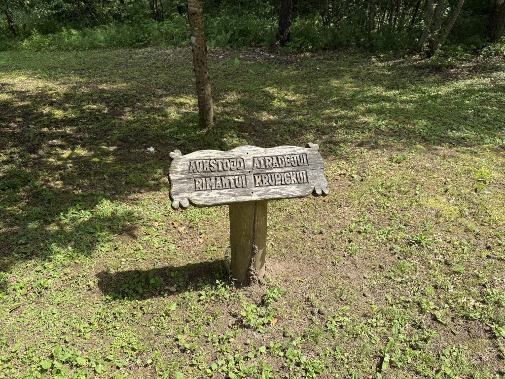
  • The name “Aukštojo” was officially assigned in 2005, honoring Aukštėjas, the supreme deity in ancient Baltic mythology, considered the creator of the world.
  • The hill was named to replace Juozapinė Hill as Lithuania’s highest point after modern GPS measurements confirmed its greater elevation.
  • Aukštojo Kalnas holds symbolic importance as a natural monument and is a site for cultural and ecological events.
  • The area is managed for tourism and cultural purposes, with plans for annual celebrations such as Mindaugas’ Coronation Day and Earth Day.

Visiting Aukštojo Kalnas

  • Location: Juozapinė village, Medininkai eldership, Vilnius district, Lithuania.
  • Coordinates: 54.5271° N, 25.6261° E.
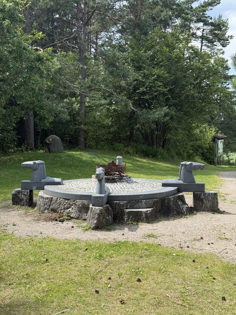
  • The site features a geodetic marker and a commemorative stone indicating its status as the highest point in Lithuania.
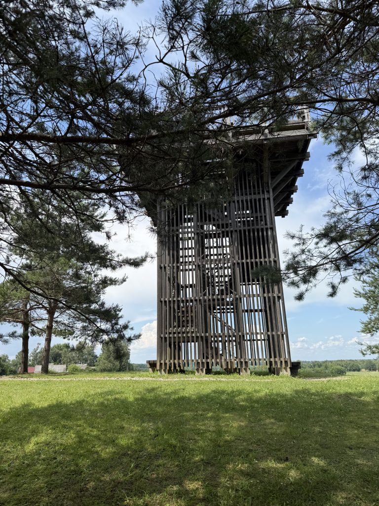
  • A wooden observation tower near the summit offers panoramic views of the surrounding Medininkai Highlands.
  • The reserve is accessible by car or bicycle, and it is a popular destination for nature lovers and hikers.

Conclusion

Aukštojo Kalnas stands as Lithuania’s highest natural elevation and a symbol of the country’s rich natural heritage and ancient cultural roots. Its unique geological formation, combined with its mythological name and protected status, make it a noteworthy destination for visitors interested in nature, history, and Lithuanian identity.

This article provides a comprehensive overview of Aukštojo Kalnas without any external links, focusing on its location, significance, and visitor information.

The Hill of Crosses near Šiauliai, Lithuania

Coordinates: 56.0154° N, 23.4160° E

Introduction

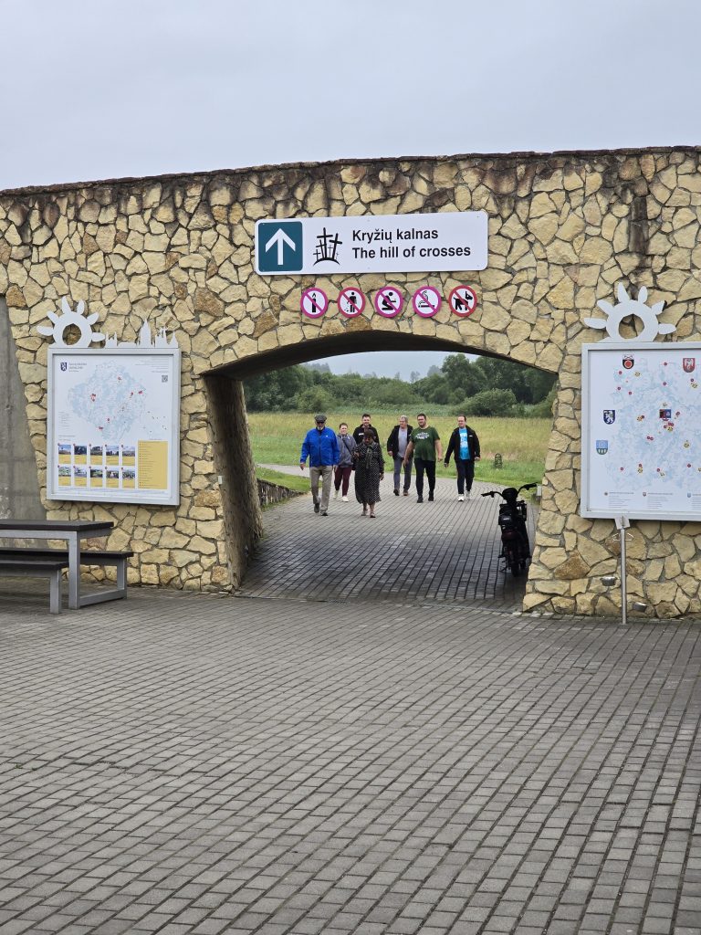
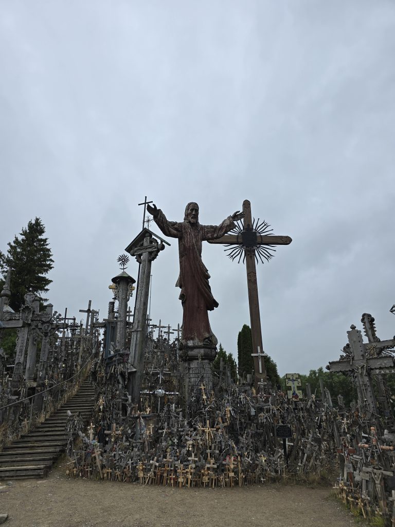
The Hill of Crosses, located about 12 kilometers north of Šiauliai, Lithuania, is one of the world’s most unique pilgrimage sites. This remarkable hill is adorned with over 100,000 crosses, crucifixes, statues, and religious effigies, symbolizing faith, hope, and the enduring spirit of the Lithuanian people.

Origins and History

  • The origins of the Hill of Crosses are mysterious. Some legends suggest that crosses have been placed here since the 14th century as a sign of resistance against foreign invaders.
  • The tradition became especially important after the 1831 Uprising against Russian rule, when the site was used to mourn those lost in uprisings, wars, or deportations, and to express hopes for health, peace, and national freedom.

Symbol of Defiance

  • During the Soviet occupation (1944–1991), the Hill of Crosses became a symbol of peaceful resistance.
  • Soviet authorities bulldozed the site multiple times, removing and destroying thousands of crosses in an attempt to suppress religious expression and Lithuanian identity.
  • Each time, locals and pilgrims returned—often at night—to restore the crosses and add new ones, demonstrating unwavering faith and resilience.

Modern Significance

  • After Lithuania regained its independence in 1990, the Hill of Crosses gained international recognition, especially after the visit of Pope John Paul II in 1993. The Pope celebrated Mass at the site and left a commemorative stone, praising the Lithuanian people for their steadfast faith.
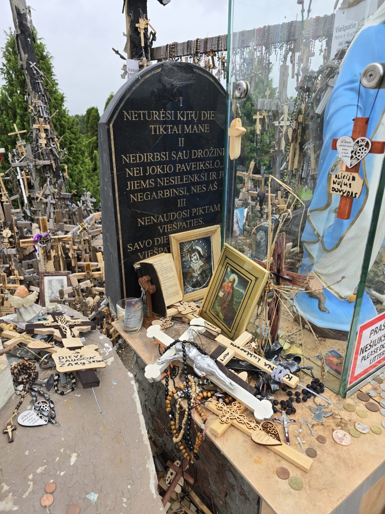
  • Today, the Hill of Crosses is a major pilgrimage destination for Catholics from Lithuania and around the world. Visitors continue to add crosses, rosaries, and other tokens, each representing personal prayers, gratitude, or remembrance.

Visiting Information

  • Location: Jurgaičiai, Meškuičiai Eldership, Šiauliai District, Lithuania
  • Coordinates: 56.0154° N, 23.4160° E
  • Distance from Šiauliai: Approximately 12 km north
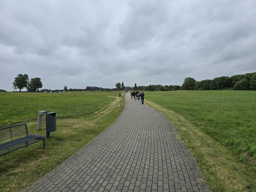
  • The site is open year-round and is free to visit. It is easily accessible by car, bicycle, or organized tours from Šiauliai.

Conclusion

The Hill of Crosses stands not only as a religious monument but also as a testament to the enduring spirit and resilience of the Lithuanian people. Whether you are a pilgrim, a history enthusiast, or a curious traveler, this site offers a moving and unforgettable experience.